The Glance: NASA's Satellite That Decides for Itself
A small NASA-backed satellite now looks ahead along its own orbit, judges the clouds, and retargets its camera — all without a human in the loop. What used to take a ground crew days of planning now happens in under 90 seconds, at 17,000 miles an hour.
📅 July 7, 2026✍️ Lisa Pedrosa⏱ 9 min readSpace · Autonomy
Seventeen thousand miles an hour is not a speed at which anyone expects careful judgment. Yet somewhere above the clouds right now, a shoebox-sized satellite is doing exactly that — looking ahead, checking the weather, and deciding, on its own, where to point its camera next.
The satellite is CogniSAT-6, a 6U CubeSat built by Open Cosmos and jointly operated with Ubotica, flying a NASA Jet Propulsion Laboratory system called Dynamic Targeting. NASA and its partners are continuing to test and expand the technology through 2026, pitching it as a template for how the next generation of Earth-observing satellites should work: not as passive cameras waiting for ground-control instructions, but as spacecraft that make real-time calls about their own mission.
The Old Way: Plan Days Ahead, Hope for Clear Skies
Traditional Earth-observation tasking is a scheduling problem solved almost entirely on the ground. Mission planners pick a target — a wildfire perimeter, a flooding river, a field of crops — days in advance, upload a command sequence, and hope that when the satellite finally passes overhead, the sky happens to be clear. If it isn't, the imagery comes back useless, and the target has to wait for the next orbit, which might be tomorrow, or next week.
That lag is the quiet failure mode of modern satellite remote sensing: exactly the events worth photographing — fires, floods, storms — are also the events most likely to be shrouded in the smoke and cloud cover that ruins a fixed, pre-planned shot. Dynamic Targeting exists to close that gap by moving the decision from a control room, days ahead of time, to the spacecraft itself, seconds ahead of time.
60–90sFull look-ahead-to-capture cycle
~17,000MPH orbital speed during decision
40–50°Forward tilt to look ahead in orbit
6UCubeSat size carrying the AI
How a Satellite Learns to Judge the Sky
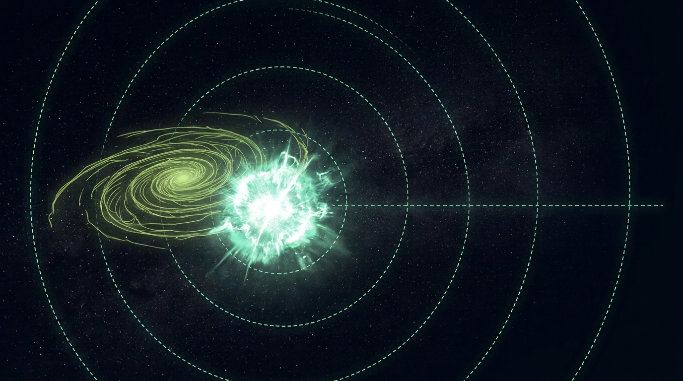
The sequence is almost balletic for something moving at orbital velocity. As CogniSAT-6 approaches a point of interest, it tilts forward 40 to 50 degrees so its optical sensor — sensitive to both visible and near-infrared light — can look ahead along the spacecraft's own flight path, rather than straight down. It captures a quick look-ahead image, and Dynamic Targeting's onboard software, running entirely on the satellite's own edge-AI hardware with no ground link required, analyzes that image for cloud cover and scene quality in real time.
Based on what it sees, the satellite decides where, exactly, to point once it arrives — steering toward the clearest patch of the target area rather than blindly shooting whatever's beneath it. It then tilts back toward nadir, straight down, and captures the final image. The entire loop — look ahead, judge, decide, reposition, shoot — happens in roughly 60 to 90 seconds, while the spacecraft covers dozens of miles of ground track.
A ground team can spend days scheduling a single shot of a wildfire perimeter, only to have it ruined by a cloud bank that rolled in overnight. Dynamic Targeting compresses that entire judgment call into the final minute before the shutter opens.
"Dynamic Targeting enables spacecraft to autonomously decide where and when to make observations in orbit — all within 90 seconds and without human intervention."
— NASA Jet Propulsion Laboratory
Why Onboard Judgment Matters More Than Onboard Speed
It would be easy to file this under "faster computers," but the more interesting shift is architectural. Dynamic Targeting doesn't just process imagery faster than a human review chain could — it removes the human review chain from the loop entirely for a specific, bounded decision: is this the best possible shot of the target, given the sky conditions right now? That's a narrow kind of autonomy, deliberately scoped, but it's exactly the kind that scales. The same reasoning — priority imaging, cloud avoidance, edge processing — could, in principle, run on a constellation of hundreds of small satellites simultaneously, each making its own micro-decisions without waiting in line for a shared ground station's attention.
That matters most for the observation targets that are, by nature, unpredictable: a wildfire that shifts direction overnight, a flash flood that peaks for a few hours, an oil spill that spreads with the tide. Disaster-response agencies have spent years wanting "tip-and-cue" satellite tasking — retargeting sensors the moment a crisis develops rather than on the next scheduled pass. Dynamic Targeting is a working, flown demonstration that the tasking half of that promise can happen onboard, in the time it takes to read this sentence twice.
The Bigger Picture: AI Moving Off the Ground and Into Orbit
Dynamic Targeting is a small demonstration on a small satellite, but it sits inside a fast-growing category. The global market for AI applied specifically to space operations was valued around $2.36 billion in 2025 and is projected to reach roughly $15 billion by 2034, while the broader AI-in-space-exploration market — covering everything from autonomous rovers to satellite constellation management — is forecast to grow from about $6.18 billion in 2025 toward $110 billion by 2035. Money is following a fairly simple insight: the deeper into space or the more numerous the spacecraft, the less realistic it becomes to keep a human reviewing every decision from the ground.
None of this makes onboard satellite autonomy risk-free. A camera that decides for itself where to point is also a camera whose judgment calls are harder to audit after the fact — the same trust problem showing up, in miniature, everywhere AI is asked to act rather than merely answer. But for Earth observation specifically, the upside is concrete and immediate: faster, cleaner imagery of the events that matter most precisely because they're moving too fast for a human-in-the-loop schedule to keep up. The next time a wildfire jumps a ridge line or a river breaches its banks overnight, there's a decent chance the first useful image of it will have been chosen not by an analyst at a desk, but by the satellite itself, mid-orbit, in the time it takes to blink.




 Buy me a coffee